Earth-Centered Earth-Fixed (ECEF)
also known as Geocentric Cartesian CRS

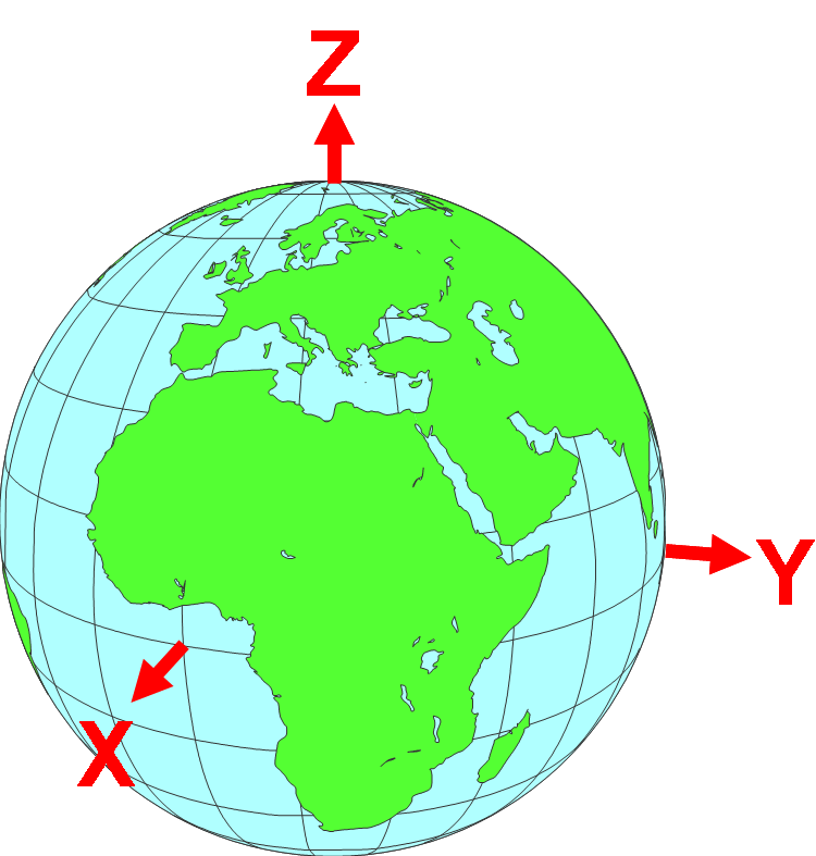
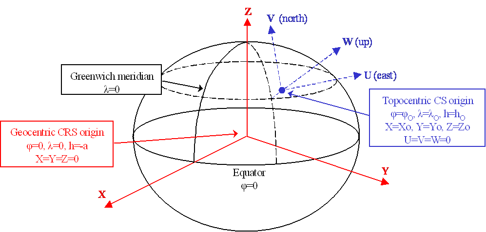
The Z axis extends from the geocenter north along the spin axis to the North Pole. The X axis extends from the geocenter to the intersection of the Equator and the Greenwich Meridian. The Y axis extends from the geocenter to the intersection of the Equator and the 90E meridian.
Topocentric Coordinates

Graphic and text from Guidance Note 7-2 @ www.epsg.org
Scalable Visualization without Distortion

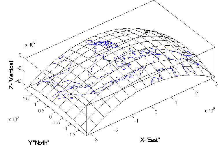
Indonesia in topocentric coordinates as presented by Matlab. One can rotate this image in Matlab or in any 3D geophysical visualization environment to any perpendicular perspective, which will be free of 2D mapping distortion.
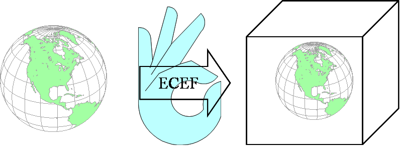
The real world is 3D. Our new visualization environments (VE) are 3D. Why incur the distortions of a 2D map projection entering real-world data into a VE? ECEF and topocentric coordinates a paradigm shift in the way we view our data, perhaps a valuable perspective that will extract new information. The time is ripe to explore ECEF.


Download the entire presentation "Earth Centered Earth Fixed: A Geodetic Approach to Scalable Visualization without Distortion" available in three formats.
Download "Earth Centered Earth Fixed - Full Screen".
Download "Earth Centered Earth Fixed - Speaker's Notes".
Download "Earth Centered Earth Fixed - Full Screen".
Download "Earth Centered Earth Fixed - Speaker's Notes".
